Google Earth 6.1.0.4738 Beta / 6.0.3.2197
A free and useful program that lets you to explore, search and discover any location on earth
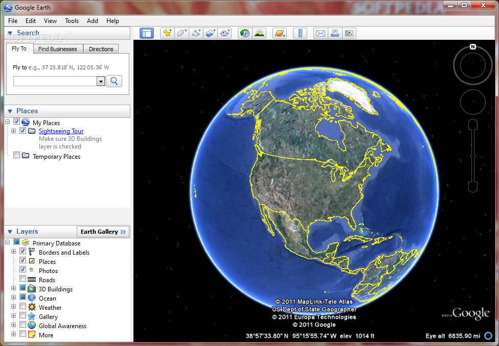
With Google Earth you can explore the earth from above! Want to know more about a specific location? Dive right in — Google Earth combines satellite imagery, maps and the power of Google Search to put the world’s geographic information at your fingertips.
Google Earth puts a planet’s worth of imagery and other geographic information right on your desktop. View exotic locales like Maui and Paris as well as points of interest such as local restaurants, hospitals, schools, and more.
· Navigation controls – Look around, move and zoom into any location
· Sun and shadows – View animated shadows as they move across the landscape
· 3D buildings – View hundreds of photo-realistic new buildings in many of the world’s cities
· Imagery date information
· Support for new language versions
· Flash videos in placemark balloons
· Fly from space to your neighborhood. Type in an address and zoom right in.
· Search for schools, parks, restaurants, and hotels. Get driving directions.
· Tilt and rotate the view to see 3D terrain and buildings.
· Save and share your searches and favorites. Even add your own annotations.
Requirements:
· CPU: Pentium 3, 500Mhz
· System Memory (RAM): 128MB
· Hard Disk: 400MB free space
· Network Speed: 128 Kbits/sec
· Graphics Card: 3D-capable with 16MB of VRAM
· Screen: 1024×768, “16-bit High Color”
What’s New in This Release:
Issues Fixed with Desktop Client:
· Fixed a problem where we were over fetching certain kml layer data and running into issuing of using large amounts of memory and slowness during zooming in.
· Fixed an issue of ruler tool disappearing. In 6.0 beta, when measuring using the path tool, if you break to add a place-mark then you go back to the path and click “save” the path and ruler tool disappears all together.
· Fixed an issue with incorrectly measuring long distances. Improved navigation in Street View inside buildings.
· Fixed a crash with elevation profile if there was empty gx:value node in KML.
· Optimized amount of terrain and imagery data fetched while viewing photo overlays.
· Fixed an occasional crash while viewing 3D buildings. Fixed broken fly-to links within local kml files.
· Fixed an issue where new place-marks added were with absolute altitude instead of being clamped to ground.
· Fixed an issue where the title for panoramio pictures no longer appeared when hovering over pano…
Reasons why this program is marked as ad-supported:
· Offers to install Google Toolbar that the program does not require to fully function