Microsoft VirtualEarth Satellite Downloader 7.61
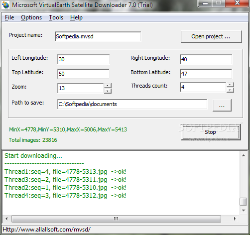
Microsoft VirtualEarth Satellite Downloader is an easy to use and powerful software application that can help you download satellite images from Microsoft VirtualEarth. All downloaded small images are saved on the disk. You can view downloaded maps by Satellite Viewer Or you can combine them into a big BMP map.
It supports proxy server. And you can easily get the longitude and latitude of each downloaded small tile image.
Note: The downloaded images are only for your personal purpose, non-commercial use.
· You cannot download high precision images (For the unregistered version, the maximum zoom level is 13; for the purchased version, the maximum zoom level is 19).
· Updated the config file.