3DField 3.4.5.0
Easily convert your data into contour maps and surface plots
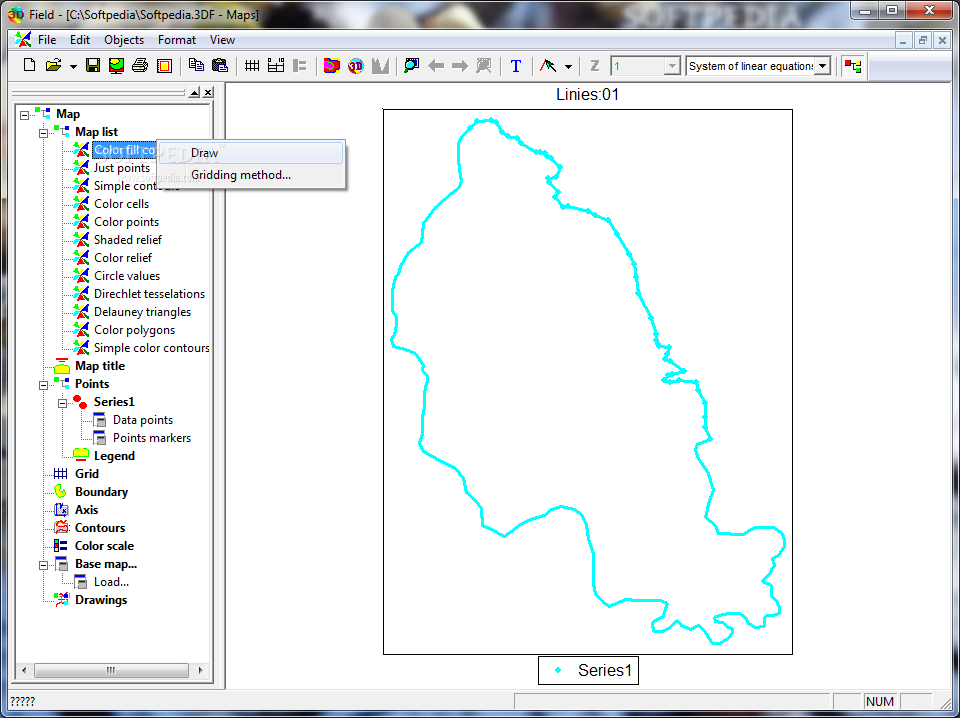
3DField is a contouring surface plotting and 3D data program.
All aspects of 2D or 3D maps can be customized to produce exactly the presentation you want.
· Automatic or user-defined contour intervals and ranges
· Control over contour label format, font, frequency and spacing
· Automatic or user-defined color for contour lines
· Color and texture fill between contours, either user-specified or as an automatic spectrum of your choice
· Base map attached to data points
· Data analysis, histogram for scattered points and interpolated grid values
· Gaussian filter and other math operation for grid
· Regression 2D data
· Convex hull for points
· Transparent background and contour map
· Rotated and transparent 2D image
· Splines for lines and contours
· View and zoom BMP, GIF, PNG, JPG, TIFF and GeoTIFF images
· Automatically and manually digitize image
· Import and export lines
· Ascending or descending sort for values or coordinates of points
· OpenGL view with full screen rotation.
· Textures
· Convert a contour bitmap to a 3D view
· Output maps as EMF, WMF, BMP, JPG, PNG, GeoTIFF file formats
· Insert maps (EMF or bitmap) in any document Microsoft Office
· Multipage scale print
· Multilingual interface
Limitations:
· Less than 50 points available
· Does not print 3D view
· Nag screen
What’s New in This Release:
· Added transparent map layer.