OkMap 9.6.4
GPS and map Windows software for many outdoor activities
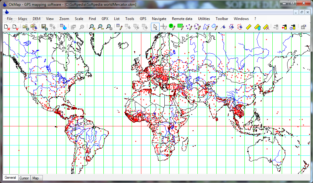
OkMap is a comprehensive software for many outdoor activities, that you can use for Sailing, Mountain bike, Trekking, Off road, Geocaching, Finding mushrooms, Soft air, Hunting and fishing.
Supported formats:
· Images: ecw, bmp, gif, jpg, png, tif and many others
· Maps drg: gfw, jgw, pgw, tfw, bpw
· Vector data: shp, dbf (Esri shape file); dcw (Digital Chart of World)
· GPS data: gpx (GPS Exchange Format); wpt, plt, rte (OziExplorer); and many others formats thanks to the software GpsBabel
· DEM data (digital earth model): hgt (SRTM-1 and SRTM-3)
Supported Gps devices:
· Upload/download through GpsBabel: Garmin and Magellan
· NMEA navigation: all GPS devices that support Nmea protocol
· Calibrate vectorial and raster maps with diffent types of cartographic projections
· Create own digital maps drawing point, multipoint, polyline and polygon vector
· Display simultaneously raster maps and vectorial data
· Import digital vectorial data based on different types of cartographic projections
· Use calibrated maps and vectorial data as background for navigation
· Create and represent on maps (raster and vectorial): waypoints, routes and tracks
· Use digital terrain models to display the elevation of any point on the map
· Load and save waypoints, routes and tracks in GPX format
· Upload and download waypoints, routes and tracks to and from a GPS device
· Navigate in real time via a GPS device through NMEA protocol
· Display Google Earth and Google Maps in current map location
· Exchange data with Google Earth
· Exchange data with gpsgate.com server
· Receive via socket customized navigation data from remote GPS devices
· Send via socket the current position to an OkMap remote server
· Make conversions between different types of coordinates, datums, formats, etc.
· Use a handy calculator for your calculations
Requirements:
· Processor: 400 Mhz or higher
· RAM: 128 MB or higher
· HDD: at least 35 MB
· Microsoft .NET Framework 3.5
· ECW activex controls
· Internet Explorer 5 or above
What’s New in This Release:
· Load Gps TrackMaker maps: fixed a bug about the origin of the projection.
· Poland CS92 national grid: fixed wrong lat/lon projection origin.